Land availability assessments, streamlined from call for sites to reporting.
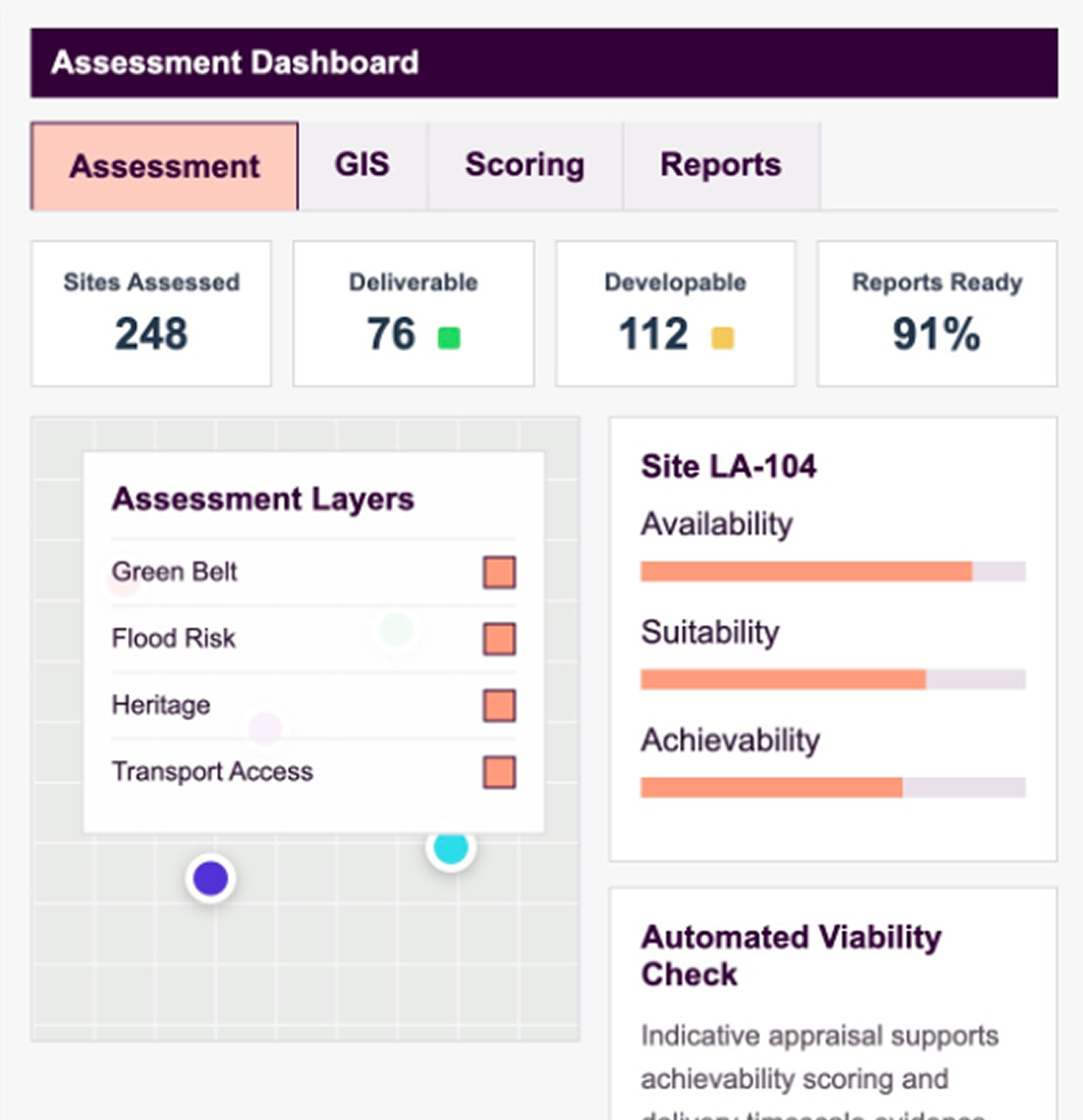
Vestega helps Local Planning Authorities manage SHLAA and HELAA assessments through a single digital workflow combining site databases, GIS analysis, achievability scoring, viability assessment and report generation.
End to end Process
From call for sites
to publishable evidence base.
A structured workflow for Local Planning Authorities conducting SHLAA and HELAA assessments.
Capture Sites
Import, upload or record promoted and council-owned sites.
Analyse GIS
Apply constraints, policy layers and local evidence datasets.
Score Sites
Assess suitability, availability and achievability consistently.
Test Viability
Automate viability inputs to support achievability judgements.
Report and Maintain
Generate Word reports and keep assessments updated over time.
Assessment Workflow
One platform for site evidence, scoring and planning judgement.
Replace fragmented spreadsheets, static maps and manual reporting with a structured SHLAA / HELAA workflow that keeps every site, assumption, GIS layer and scoring decision in one place.
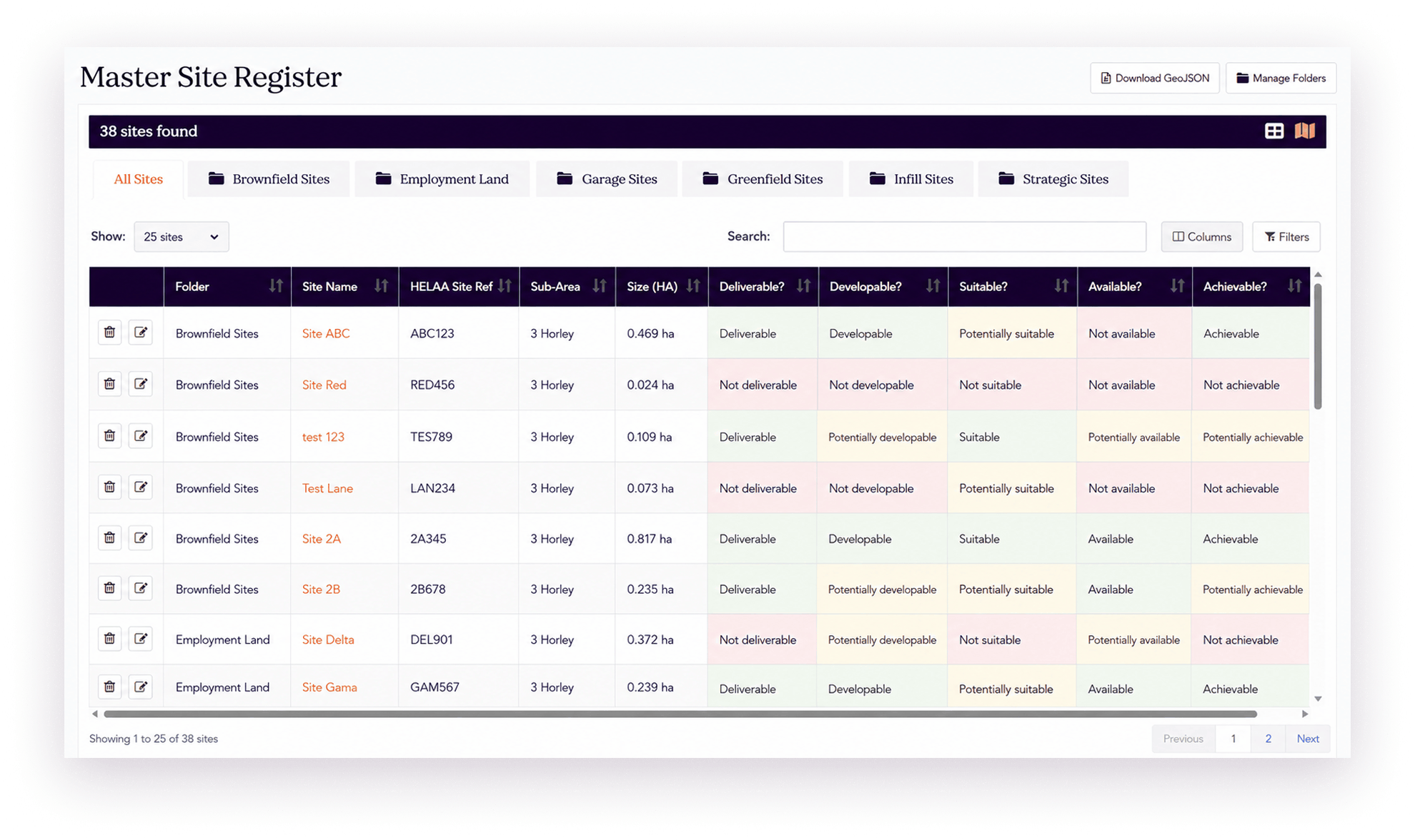
Site Database
Maintain a live register of submitted, promoted and council owned sites with structured planning, ownership, status and capacity data.
Assessment Scoring
Streamline suitability, availability and achievability scoring with configurable criteria and transparent audit trails.
Viability Automation
Use automated viability assessments to support achievability scores and delivery assumptions.
Ongoing Updates
Keep the evidence base current as sites, constraints, statuses and planning assumptions change.
GIS LED Evidence
Collect, store and analyse GIS data throughout the assessment cycle.
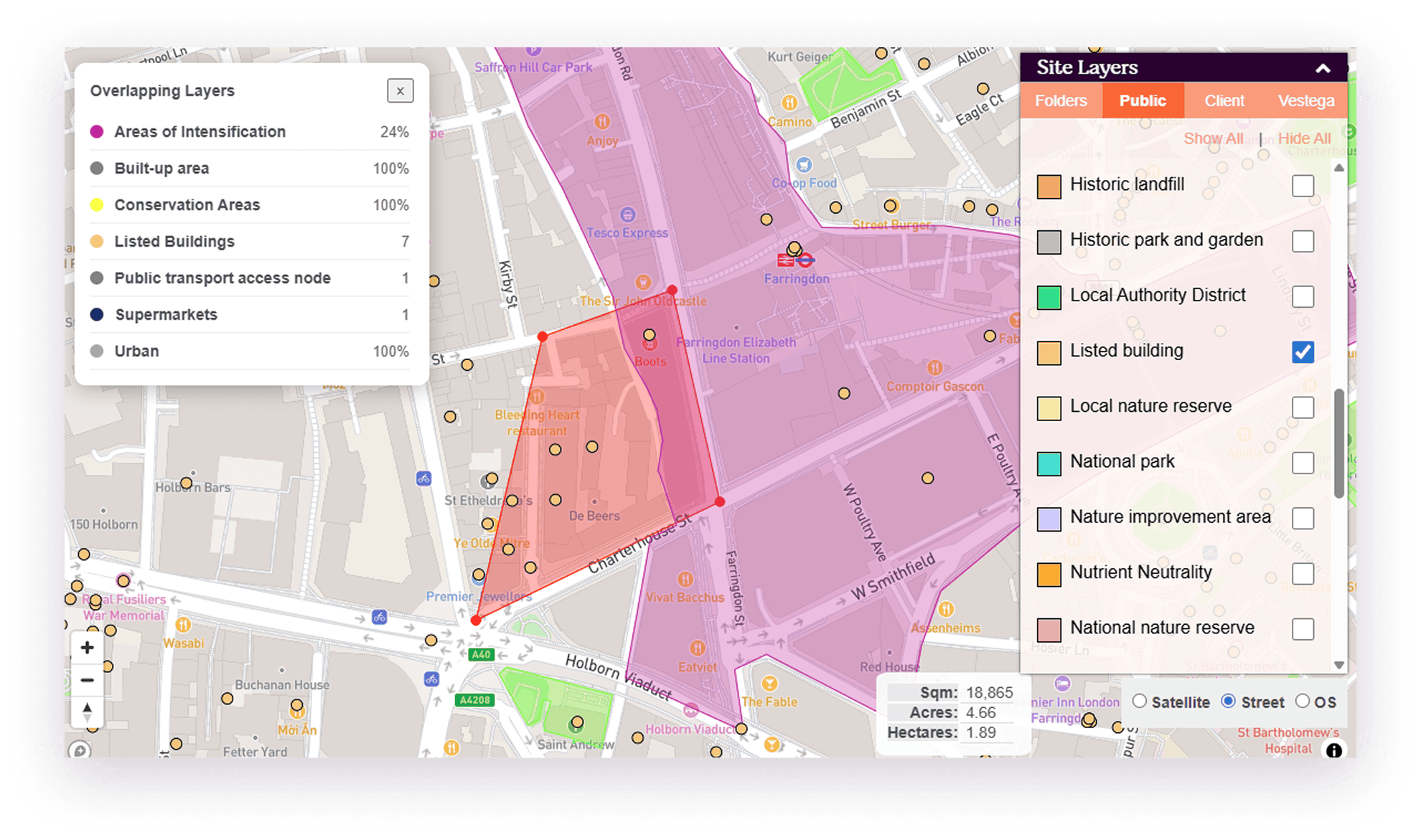
Vestega brings spatial evidence into the assessment process, helping planning teams understand constraints, opportunities and policy context for each site. LPAs can use built-in GIS layers and upload their own datasets so analysis remains consistent across future assessments.
Built-in GIS Layers
Use planning, environmental, infrastructure and policy layers directly in assessment workflows.
Custom LPA Data
Upload local datasets and apply them across sites, portfolios and future assessment updates.
Spatial Audit Trail
Link constraints and site judgements back to the underlying evidence used in scoring.
Portfolio Analysis
Review sites individually or across the whole land availability evidence base.
We’d love to hear from you
To find out how Vestega could transform your land and property decisions, complete the form to speak to one of the team.